 Skip to main content
Highway 41 Corridor Improvements
Enhancing Safety, Connectivity, and Mobility along Highway 41 in Mt. Pleasant, South Carolina
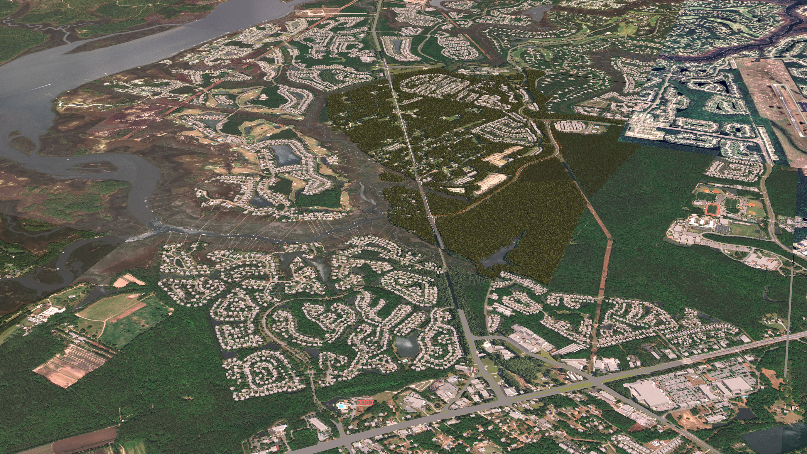
Highway 41 in Mt. Pleasant serves thousands of daily travelers and commuters in one of Charleston County’s fastest-growing areas. To keep up with this growth, the Highway 41 corridor requires substantial improvements to reduce congestion and improve safety, mobility, and connectivity.
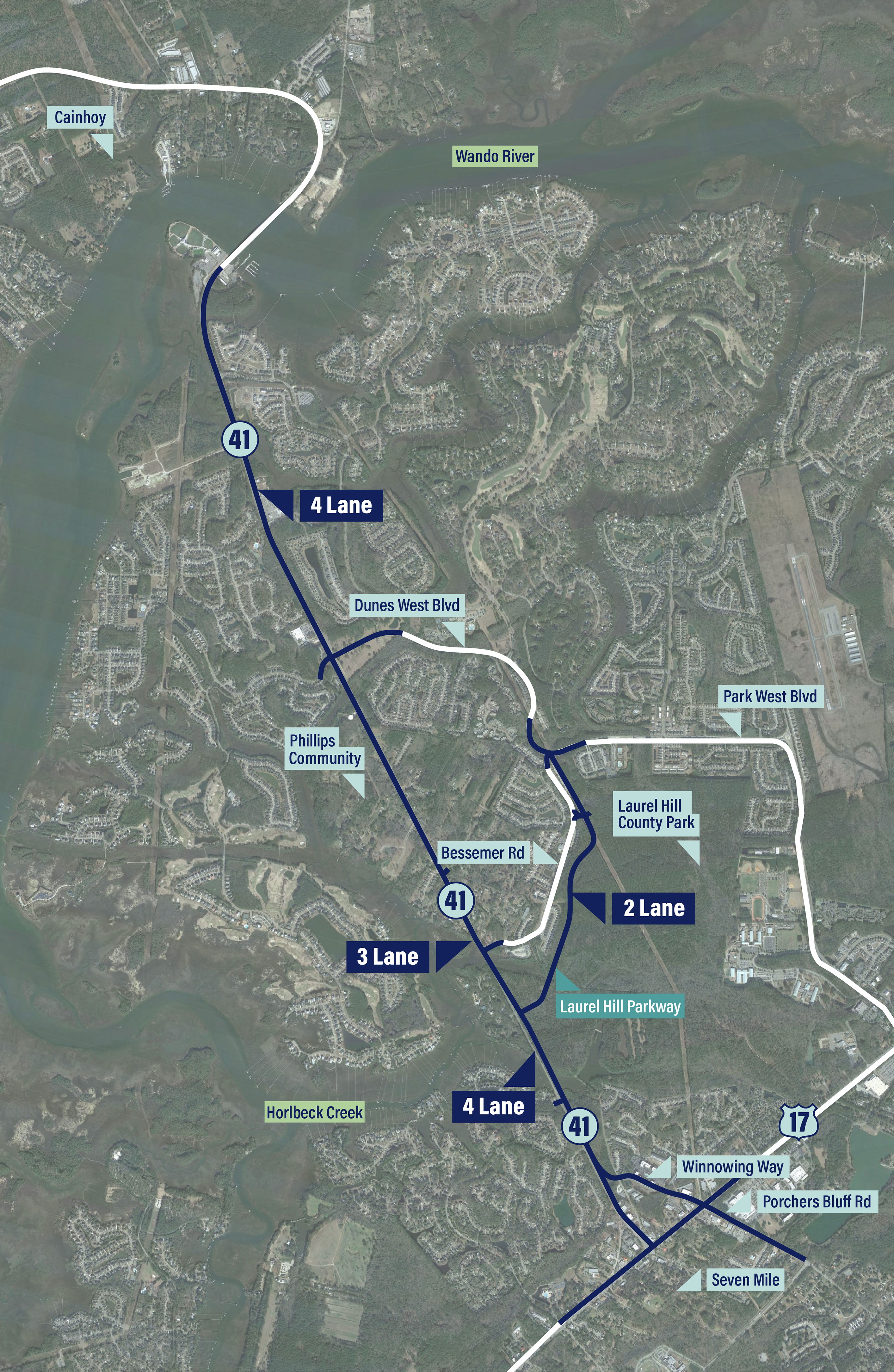
The Highway 41 Corridor Improvements project will widen the existing roadway to four lanes from Clements Ferry Road to Dunes West Boulevard/Rivertowne Parkway, expand to three lanes through the Phillips Community, and widen again to four lanes from Bessemer Road/Joe Rouse Road to Highway 17 (4-3-4 configuration). The project also includes the Laurel Hill Parkway, a new, two-lane local connection road from Highway 41 to Park West Boulevard, which will support more reliable travel for residents of Dunes West and Park West, especially during peak traffic hours.
Watch the video below to learn more about how the Highway 41 improvements and Laurel Hill Parkway will function.
Highway 41 is a vital regional corridor that supports Charleston County’s larger transportation network. Explore and learn more about the project using the links below.
 click to enlarge
-
Project Features and Benefits
The project's 4-3-4 design along Highway 41 combined with Laurel Hill Parkway will improve regional mobility and neighborhood connectivity while protecting the historic Phillips Community. Learn more about how this project will benefit Mt. Pleasant residents → -
Why the Laurel Hill Parkway is Critical to this Project
The Laurel Hill Parkway will save commute time for residents of Dunes West and Park West, provide safe access and connectivity for neighborhoods, and is a critical piece of the Highway 41 Corridor Improvements project. Learn more about why this connection is critical → -
Project Status and History
Charleston County has worked to identify a project design that addresses traffic congestion on Highway 41 and improves road safety and connectivity in Mt. Pleasant. Learn more about the history, status, and future of the project → -
Resources and FAQs
Still have questions or want to access more project resources? Visit the Resources page →